NASHO
RUN
35.15 km · Loftus to Bald Hill
Royal National Park · Assetto Corsa
Five minutes of the real road
Loftus to Bald Hill, driven in Assetto Corsa. The corners are where they are because the centreline is traced from the real road and the elevation comes from 1 m LiDAR.
Two ways to drive it
The monthly time attack
One car, chosen by the club, for the whole month. Every clean run from Loftus to Bald Hill on the official server is timed and ranked. The board resets when the month does, so a good time is always worth chasing rather than something you missed by joining late.
Only laps in that month's car, on the timed layout, without a cut, count. A lap from a social drive can never rank.
Free roam
No timer, any car on the roster, everyone spawns together at the car park and heads out as a group. Built for organised cruises through the park with the Discord open — the point is the drive and the company, not the clock.
A second server, running alongside the time attack. Most of the roster is stock Assetto Corsa, so there is usually nothing to download before your first cruise.
October 2026
1999 Mitsubishi Lancer Evolution V "AEROBLITZ"
One car. One run, Loftus to Bald Hill. Times count on the official server only, within the season window only.
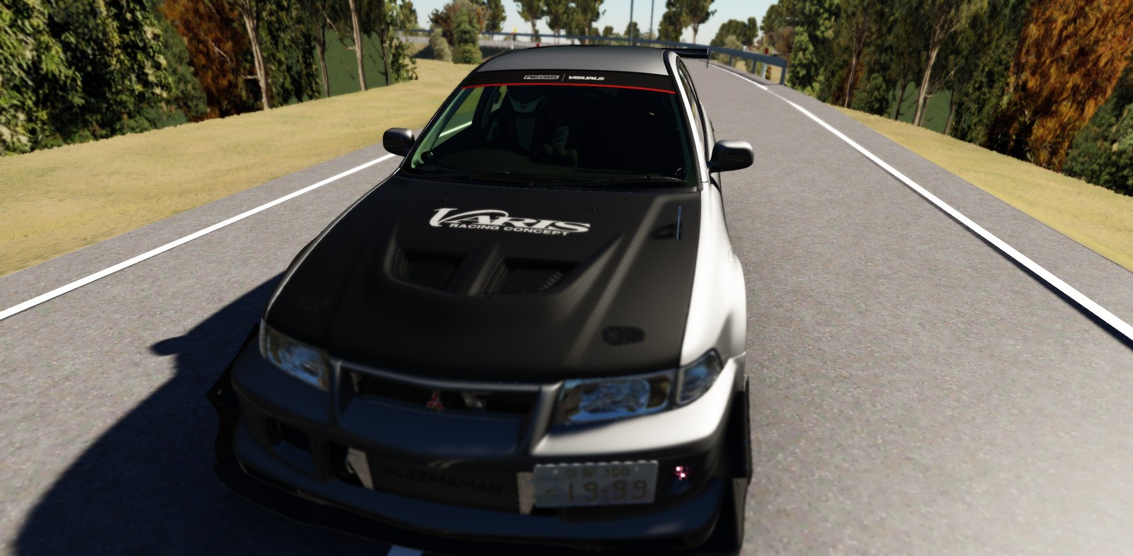
BETHUEL, built by AEGIS VISUALS
Download it free from AEGIS VISUALS →We don't host this car. It's a free download from the people who made it — install it as content/cars/aegis_mitsubishi_lancer_evolution_v_gsr. Requires Custom Shaders Patch.
October 2026 standings
No times set yet.
All-time, every car
1999 Mitsubishi Lancer Evolution V "AEROBLITZ"
- 1LUX18:02.877
Built from the laser scan of the real road
This isn't a hand-modelled tribute. The centreline is traced point-by-point along the surveyed road polyline, and the elevation under it is sampled from a 1-metre aerial LiDAR scan of the park — every crest and dip is where it is because the laser said so. The guardrails go where the real embankment drop warrants them. The sandstone in the cuttings is photogrammetry of actual Hawkesbury sandstone. If you drive the Nasho in real life, your lines work here.
- 35.15 km
- timed, Loftus to the Bald Hill carpark
- 18,004
- centreline points at 2 m spacing along the corridor
- 1 m
- LiDAR grid — 118 survey tiles, 4 million elevation points each
- 1.3 m
- median offset between our centreline and the surveyed road
Elevation data © State of New South Wales (Spatial Services), CC BY 4.0. Road geometry © OpenStreetMap contributors, ODbL. Emblem traced from “Barasingha stags rutting” by Bernard DUPONT, CC BY 2.0.
Run the Nasho
$5/month. The current track build, both official servers, the monthly challenge, the Discord. Cancel any time.
The Discord is open to anyone — come and have a look before you join.